The Val d’Orcia is an exceptional example of remodelling of the landscape in the pre-Renaissance period, illustrating the ideals of good governance and the aesthetic research that guided its conception. The Val d’Orcia was celebrated by the painters of the Sienese school and has ‘become an icon of the scenery that profoundly influenced the development of the landscape approach’.
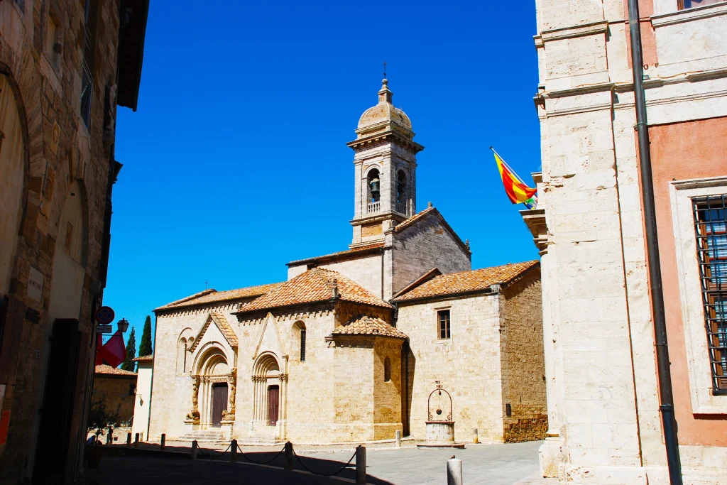
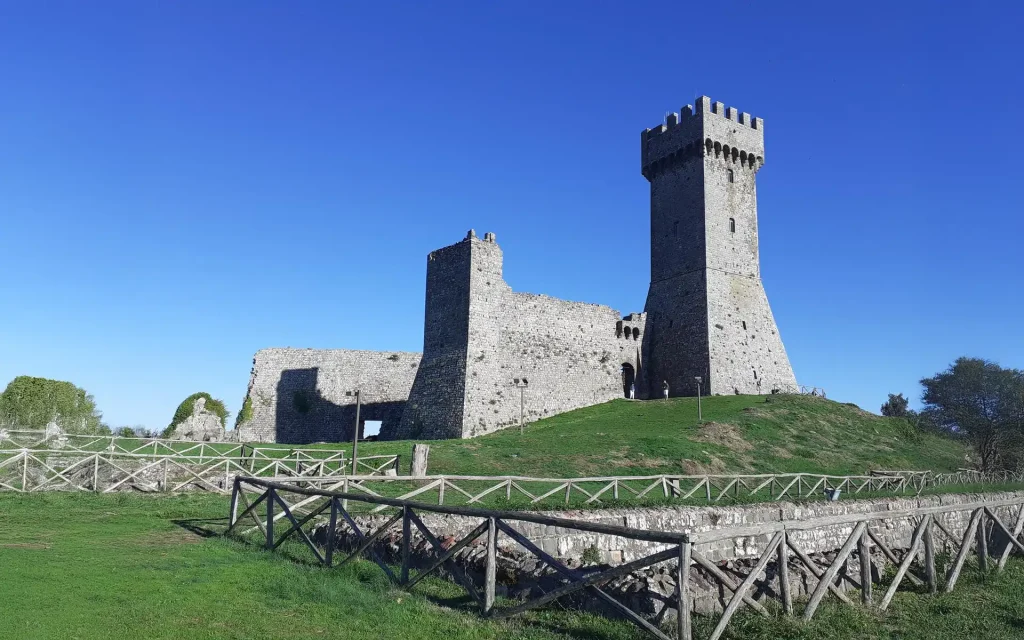
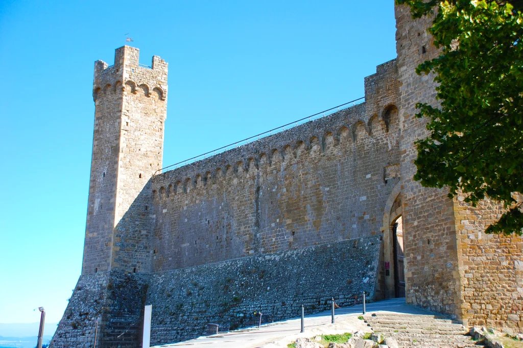
With this motivation, in 2004, UNESCO decreed the inclusion of the Val d’Orcia’s Artistic, Natural and Cultural Park, including the territories of Montalcino, Pienza, San Quirico d’Orcia, Castiglione d’Orcia and Radicofani, in the list of World Heritage Sites, thus making it worthy of protection. In fact, it is the untouched landscape that leaves both occasional and informed visitors speechless before its beauty, which conveys a sense of peace and connection with creation. However, this landscape is not only natural, but mostly the result of hard and continuous agricultural-pastoral work, in which man took care of a plot of land of which he was half the beneficiary, for centuries, keeping the rare waterways clean, creating water reserves called fontoni (monumental fountains) in an area where water is a precious resource, planting olive trees, vineyards and cypresses and creating dirt roads to reach the farmhouses and villages.
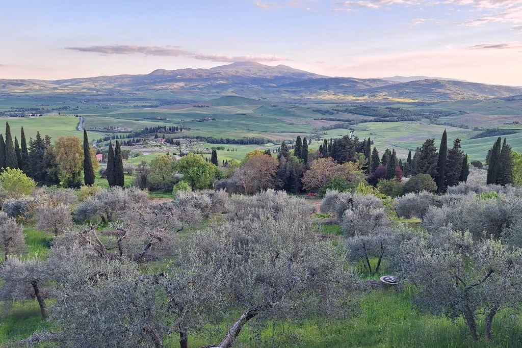
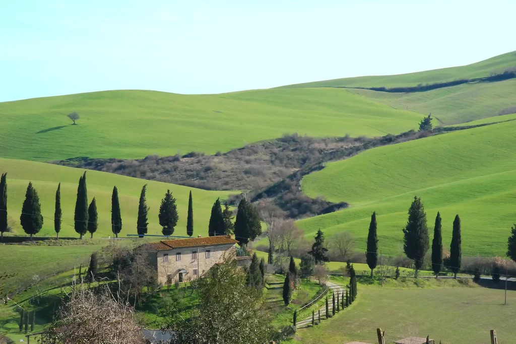
The distinctive elements of the Val d`Orcia landscape are the hills, the cypress trees and the dirt roads, in infinite combinations that are never artificial or repetitive. Cypress trees, which are a symbol of mourning elsewhere, are planted along the access roads to the farmhouses here, or is even planted in isolation on top of a hillock, to indicate a border. Olive trees, which do not require irrigation, are planted with geometric precision, at measured distances. From afar, they provide a splash of colour somewhere between green and silver.
The secondary roads are kept unpaved, based on a policy of the province of Siena aimed at protecting the uniqueness of the dirt roads, which are increasingly famous especially in the cycling sector, both professional and amateur. Circuits of international importance such as the Eroica or the Gran Fondo Strade Bianche cross the municipal territory of Pienza in the Cosona area.
Monte Amiata, an ancient volcano that is no longer active and justifies the presence of various thermal springs in the surrounding area, frames the Val d’Orcia, like a theatre backdrop. The mysterious place name possibly comes from the ad meata construction, referring to water sources. In fact, the sources of the Vivo, Fiora, Paglia and Albegna rivers flow on Monte Amiata.
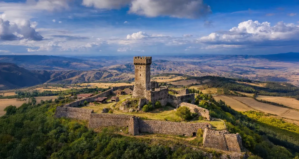
The top of Monte Amiata, 1737 meters high, is gentle and rounded by the last eruptions, which occurred thousands of years ago. The mountain is the only one in this part of Tuscany and is divided equally between the provinces of Siena and Grosseto. Along with the hill of Radicofani, another site of different volcanic origin, it marks the natural border with Lazio, the ancient Papal States. Monte Amiata is rich in natural resources, such as water vapour exploited by geothermal energy, cinnabar, extracted in the mines until the 1970s, and of course timber, used for construction. With its beech, chestnut and fir forests, Amiata offers some pleasant shade on hot summer days, but it is a place waiting to be discovered all year round. At the foot of the mountain, on the Siena side, the valley floor opens up into vast fields cultivated with durum wheat, which in the months of April and May become a green expanse swaying in the breeze.
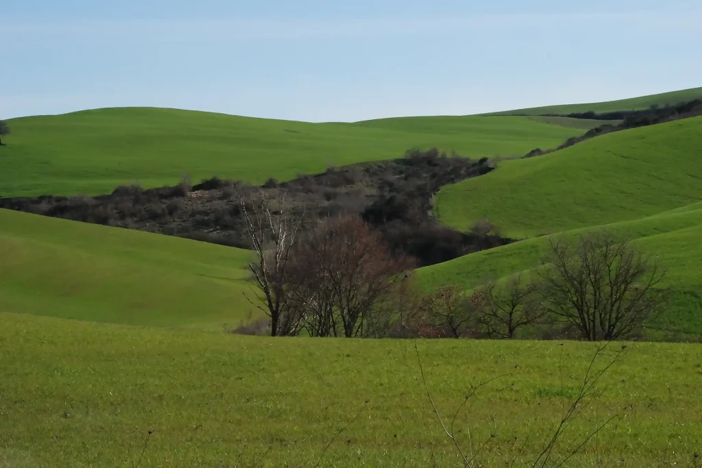
Until the mid-twentieth century, these vast expanses were spiky, rugged clay ravines, shaped by erosion and left as pastures. With the advent of agricultural mechanisation, they were mostly levelled in order to gain ground for agriculture. Nevertheless, it is still possible to admire the almost lunar landscape of the clays in the area of La Foce, the Lucciolabella Nature Reserve and Rimbecca.
The main thoroughfare in the Val d’Orcia is the Sienese variant of the Roman Via Cassia, which connected Rome to northern Etruria, running through Viterbo, Bolsena, Chiusi, Arezzo and Florence all the way to Lunigiana. In the Middle Ages, the Via Francigena overlapped with this variant road, a Christian pilgrimage route that linked Canterbury and France to Rome, along which soldiers and merchants also travelled. It was one of the busiest roads in central Italy and the only way to travel to Rome, until the inauguration of the ‘Autostrada del Sole’ A1 Motorway in 1964. Today, travelling along the Via Francigena, by car, by bicycle or on foot, is still a very satisfying aesthetic and spiritual experience. The Orcia river slowly flows parallel to the Via Cassia and excursions along it, on foot or by bicycle, are possible.
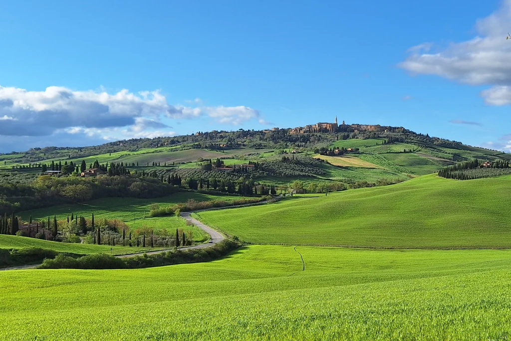
The rest of the valley is made up of soft clay hills sown with wheat or used for olive groves. In recent years, the hectares of land planted with vines, previously concentrated in the areas of Montalcino and Montepulciano, have been increasing. Orcia DOC is the mark of quality obtained by the local wine, along with the DOCG designations of Montalcino and Montepulciano wines. In an arid land like that of the Val d`Orcia, there is no shortage of very beautiful gardens, like the hanging garden of Palazzo Piccolomini, designed during the Renaissance in the heart of Pienza, and the garden with its Italian and English styles commissioned by Iris Origo in the Villa La Foce estate at the beginning of the twentieth century, both open to the public. Also the result of the desire to tame nature for aesthetic purposes is the zigzag avenue of cypresses planted on the La Foce estate, in the Lucciolabella Nature Reserve, imitating the background of a Renaissance fresco.


